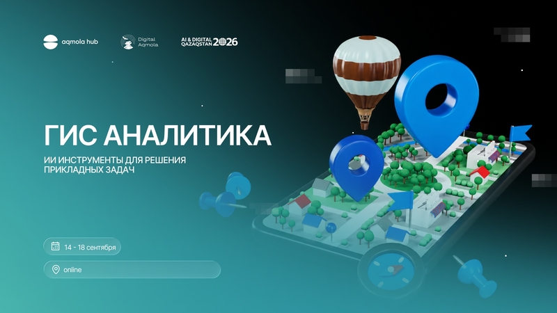

Do you want to master the tools that are already used for monitoring and making management decisions in the region, from satellite imagery to AI analytics? We invite everyone to the educational and practical program.
, Let 's analyze what:
• Basics of working in QGIS and geospatial analysis
• Checking and correcting cadastral and administrative boundaries based on satellite images
• Work with Earth remote sensing data and thematic mapping
• Preparation of analytical reports using AI tools
• Final offline workshop: assembly of a demonstration prototype of an analytical AI module on agriculture
Format: 4 online classes in Zoom + 1 offline workshop
, Dates and times:
September 14 — 15:00-18:00 | online
September 15 — 15:00-18:00 | online
September 16 — 15:00-18:00 | online
September 17 — 10:00-13:00 | online
September 18 — 15:00-18:00 | offline
, Offline workshop:
September 18, Aqmola Hub Kokshetau, Gagarin St., 7
Events
📍 "GIS, remote sensing of the Earth and AI for regional analytics"