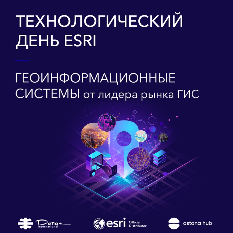
We invite you to Esri Technology Day is a conference on geoinformation technologies of ArcGIS.
We will talk about technological trends in GIS and Esri's advanced developments in the field of geodata processing, visualization and analysis.
Among the topics of the conference:
- creation of cartographic materials and reports
- organization of GIS portals
- GIS for mobile devices (from assignment of tasks to navigation and data collection)
- creation of 3D and 4D GIS
- use of Data Science and application of artificial intelligence in GIS
- creation of own web applications
- work with DDZ, data from drones and much, much more.
After the break, Esri experts will conduct master classes with an overview of the latest desktop GIS application ArcGIS Pro and ArcGIS Enterprise, a modern solution for organizing corporate GIS in the company.
Specialists of Data+ International (the official distributor of Esri in Kazakhstan and other CIS countries) will demonstrate many technological innovations in GIS and answer your questions.
On May 26, at 14.00, we will continue our day with a GIS seminar for architecture and urban planning tasks.
At the seminar, Data+ International specialists (Esri representative) will present technologies for mapping, creating portals, creating 3D cities, managing spatial data and engineering networks.
And Kazaerospace specialists will share their experience in using modern GIS technologies to create a digital twin of the city of Nur-Sultan.
On May 27 at 10.00 Data+ International (Esri) together with JSC NC "Kazakhstan Garysh Sapary" will hold a seminar on Geoinformation solutions based on remote sensing data. At the seminar, you will learn about trends in the field of remote sensing data processing, the practical application of the ArcGIS GIS for working with images and application systems based on remote sensing being created in Kazakhstan.
We invite you to join any of our events or attend all of them. You will be able to look into the future of geoinformation systems and find applications of GIS in your industry. It doesn't matter if you are just starting to be interested in the benefits of using GIS or are a confident user, you will definitely find something new for yourself.
Registration is completed.